Metar Maps
METAR is a format for reporting weather information. A METAR weather report is predominantly used by aircraft pilots, and by meteorologists, who use aggregated METAR information to assist in weather forecasting. Raw METAR is the most common format in the world for the transmission of observational weather data.
“EGSH 271450Z 14008KT 4000 -RADZ BR OVC004 09/08 Q0991” An example METAR form Norwich Airport in Norfolk.
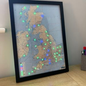
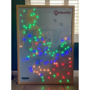
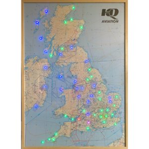
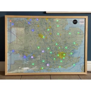
Our METAR maps use a small computer that connects to your WiFi and checks the current METAR for each airport that has an LED on the map. This check is done every five minutes to give you an at-a-glance up to date view of the region. The LEDs can show if the current conditions are VFR, MVFR, IFR or LIFR. They can also show if the winds are over customisable thresholds by blinking different colours. Nearby lightning can also be shown when the LEDs will blink white.


